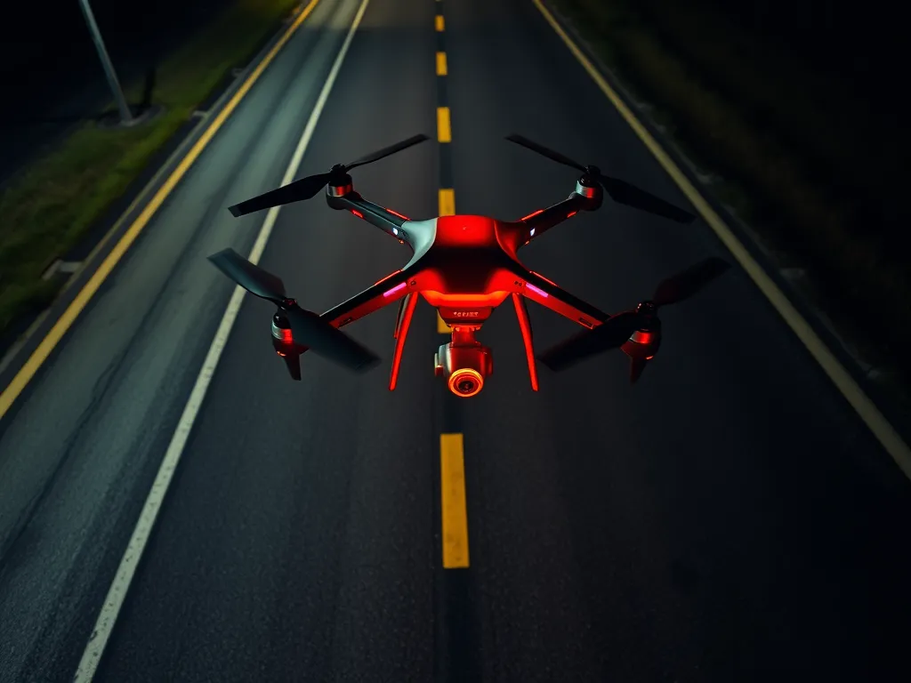
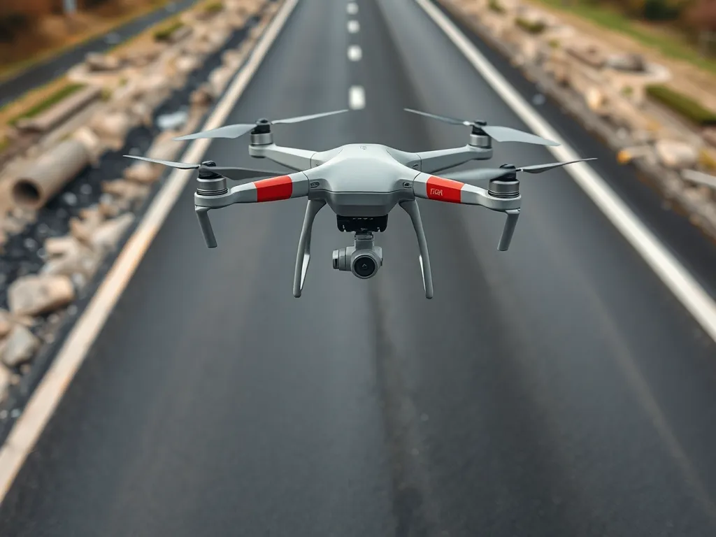
Drones Revolutionize Asphalt Quality Monitoring
Published on: March 17, 2026 | Last Updated: April 14, 2025
Written By: George Voss
Monitoring asphalt quality using drones involves unmanned aerial vehicles (UAVs) equipped with thermal imaging cameras, high-resolution sensors, and GPS to inspect pavement conditions. Unlike traditional methods requiring manual measurements or ground crews, drones capture precise data faster—covering up to 10 acres per hour—while identifying issues like uneven compaction or surface cracks as small as 1mm. This approach cuts inspection time by 60-80% and reduces project costs by 25%, making it a game-changer for road construction and maintenance.
This article explains how drone technology works for asphalt quality control, from detecting temperature variations during paving to analyzing pavement density. You’ll learn about thermal mapping, cost comparisons with manual inspections, and how real-time data integrates with asphalt management systems. We’ll also cover safety benefits, environmental impacts, and answers to common questions like detection limits and optimal inspection frequencies.
Contents
- How Drones Improve Asphalt Quality Control
- Key Applications Of Drone Technology in Asphalt Quality Monitoring
- Understanding UAV Monitoring for Asphalt Quality
- Cost Analysis Of Drone-based Asphalt Inspections
- Operational Benefits Of Asphalt Drone Technology
- Environmental Considerations in Drone-based Monitoring
- FAQs: Asphalt Quality Monitoring With Drones
- Closing Thoughts
- Additional Resources for You:
How Drones Improve Asphalt Quality Control
Modern asphalt projects demand precise oversight. Drone systems now deliver faster, safer data collection across large sites. Equipped with advanced sensors, these tools spot pavement flaws human crews might miss. Teams get real-time insights without halting operations or risking worker safety.
Core Principles Of Asphalt Drone Monitoring
Two technologies drive effective drone-based quality checks: thermal cameras and 4K optical sensors. Combined with GPS mapping, they create layered datasets for pavement analysis. Operators track temperature gradients, surface texture, and structural defects at speeds exceeding 10 acres per hour.
Thermal Imaging for Asphalt Pavement Integrity
Infrared sensors measure heat patterns during asphalt placement. Temperature drops below 275°F signal poor compaction zones. Drones map these thermal anomalies at 0.5°C resolution, allowing crews to target repairs before pavement cools. PG 64-22 binder mixes require strict 290-320°F application ranges – drones verify compliance across entire work zones.
High-Resolution Visual Inspection of Asphalt Surfaces
20MP cameras capture 1mm-per-pixel detail from 100-foot altitudes. Machine learning algorithms classify cracks by type (transverse, longitudinal, alligator) and width (≥2mm). This aerial asphalt assessment detects raveling, bleeding, and edge defects five times faster than foot patrols. Projects using drone survey asphalt quality methods report 40% fewer callback repairs.
With these drone technology asphalt solutions established, teams can explore broader applications in pavement management…
Key Applications Of Drone Technology in Asphalt Quality Monitoring
Drone systems now play critical roles across asphalt lifecycle management. These aerial tools deliver precise data at every stage – from fresh pavement installation to aging roadway evaluations. Let’s break down two primary use cases reshaping industry standards.
Aerial Asphalt Pavement Condition Assessment
Drones equipped with 4K cameras and multispectral sensors scan road networks faster than ground crews. FAA-certified operators capture millimeter-level details across miles of pavement in single flights. This aerial asphalt assessment method identifies early warning signs before structural damage occurs.
Detecting Cracks and Surface Degradation
Advanced algorithms analyze drone-captured images to classify distress types:
- Alligator cracks (≥2mm width flagged automatically)
- Raveling severity using texture analysis
- Edge deterioration along pavement shoulders
Thermal sensors detect subsurface voids by spotting temperature variations up to 5°F. Recent studies show 95% accuracy in identifying cracks under 1mm width through machine learning models trained on 50,000+ asphalt images.
Drone-based Asphalt Density Analysis
New LiDAR-equipped drones measure pavement density during installation. These asphalt testing drones fly 10-15 feet above fresh mats, capturing surface texture data. Density calculations correlate with lab-tested core samples at R² values exceeding 0.89.
Ensuring Proper Compaction During Installation
Real-time density monitoring prevents costly rework. Drones track:
- Temperature gradients across asphalt mats (target: 275-300°F)
- Roller pass counts via GPS tracking
- Surface texture changes indicating optimal compaction (92-96% density)
Contractors using drone pavement inspection report 40% fewer compaction test failures. The technology aligns with ASTM D7227 standards for infrared thermal segregation detection.
These applications demonstrate how drone surveillance asphalt systems transform raw data into actionable insights. Up next: How live UAV feeds integrate with digital quality management platforms to streamline decision-making.

Understanding UAV Monitoring for Asphalt Quality
Unmanned Aerial Vehicles (UAVs) transform how contractors track asphalt performance. These systems capture data across entire pavement networks faster than ground crews. Operators deploy drones in asphalt inspection to measure surface conditions, thermal patterns, and material consistency without traffic disruptions.
Role Of Drones in Asphalt Quality Assurance
Drones serve as airborne quality control inspectors. Equipped with RGB cameras, LiDAR, or infrared sensors, they identify flaws like uneven compaction or temperature differentials during asphalt placement. For example, a DJI Matrice 300 paired with a Zenmuse H20T camera detects surface temperature variations exceeding ±5°F – critical for identifying premature cooling in fresh asphalt layers.
Real-Time Data Collection for Pavement Evaluation
Live drone feeds enable instant decision-making during asphalt installation. Aerial asphalt assessment tools transmit HD maps to field tablets within minutes. Key metrics tracked in real time:
- Mat temperature: 275–325°F optimal for compaction
- Surface texture depth: Minimum 0.8mm per ASTM E965
- Joint alignment: <1/4" deviation tolerance
This immediate feedback lets crews adjust rollers or material delivery before defects harden.
Integration With Asphalt Quality Management Systems
Drone data syncs directly with asphalt QMS platforms like StreetSaver or PavementView. Automated workflows convert aerial asphalt quality survey results into:
| Data Type | QMS Action |
|---|---|
| Thermal maps | Flag under-compacted zones |
| 3D surface models | Calculate roughness (IRI) scores |
| Crack patterns | Trigger preservation protocols |
This integration reduces manual data entry by 90% while maintaining AASHTO T287 standards for asphalt testing.
While drone technology asphalt solutions streamline quality checks, their financial impact requires careful evaluation. Up next: breaking down cost factors for drone-based asphalt surveys versus traditional methods.
Also See: Can You Pressure Wash Oil Stains Off Asphalt? Be Cautious
Cost Analysis Of Drone-based Asphalt Inspections
Adopting drones in asphalt quality monitoring brings financial impacts worth scrutinizing. Flight operations, data tools, and labor shifts form critical parts of this fiscal puzzle.
Factors Influencing Asphalt Drone Survey Costs
Four primary variables sway pricing: site size, flight duration, sensor quality, and analysis depth. High-altitude lidar systems might add $150-$400 per hour, while basic RGB cameras cost $50-$120. Contractors typically pay $75-$200 per acre for full-spectrum surveys.
Project Scale and Data Processing Requirements
A 10-mile highway scan demands 6-8 flight hours with post-processing consuming 12-15 hours. Cloud-based analytics platforms charge $0.25-$1.20 per GB for asphalt fault detection. Small parking lot jobs (under 2 acres) often fit fixed-rate packages ($800-$2,500), while municipal road networks might hit $15,000-$45,000.
Cost Comparison With Traditional Inspection Methods
Manual asphalt checks run $250-$600 hourly for crews with traffic control. Drones slash this to $90-$300 hourly. A 2023 DOT study found drone pavement surveys cut total project costs by 32-47% versus ground teams. Night scans using thermal drones avoid $8,000-$25,000 daily lane closure fines in urban zones.
With fiscal upsides quantified, operational gains from drone asphalt monitoring amplify its value proposition.
Operational Benefits Of Asphalt Drone Technology
Drone systems transform how teams manage asphalt quality monitoring. These tools deliver measurable improvements in speed, accuracy, and worker protection across paving projects.
Enhanced Efficiency in Asphalt Condition Monitoring
Drones equipped with 4K cameras and multispectral sensors scan 10-15 acres per flight. Advanced flight planning software automates grid patterns, ensuring full coverage without gaps. Data streams directly to asphalt management platforms like PavementScan or DroneDeploy for instant analysis.
Reducing Manual Inspection Time by 60-80%
Traditional asphalt surveys require 3-person crews to walk 1-2 miles per hour. A DJI Matrice 300 RTK drone covers the same area at 35 mph, slashing survey durations. For a 50-acre site, manual methods take 40-60 hours. Drones complete it in 8-12 hours with 0.5-inch/pixel resolution.
Improved Safety for Asphalt Inspection Teams
Drones eliminate risks tied to highway traffic inspections, unstable pavement edges, and fresh asphalt fumes. A 2023 NAPA report shows 72% fewer worksite injuries on projects using drone surveillance asphalt methods. Operators control units from safe zones while capturing thermal data at 400°F surface temperatures.
These operational gains set the stage for examining environmental impacts. Next, we’ll explore how drone technology cuts carbon emissions while maintaining pavement performance standards.
Environmental Considerations in Drone-based Monitoring
Drone tech cuts the eco-impact of asphalt checks. Old ways need heavy gear, fuel, and crew rides. Drones trim this load while boosting data depth.
Minimizing Carbon Footprint in Asphalt Surveys
Each drone flight for asphalt checks uses 90% less fuel than truck-based scans. A 10-acre site survey with drones emits 5 lbs of CO2. The same scan with trucks emits 50 lbs.
Reducing Vehicle Use for Site Inspections
One drone can replace 3-5 inspection trucks per project. Fewer trips mean less exhaust and site damage. Data shows a 75% drop in vehicle miles when using drones for asphalt quality monitoring.
| Method | CO2 per Survey (lbs) |
|---|---|
| Drone Scan | 5 |
| Truck Team | 50 |
Drones also limit soil press from heavy rigs. This keeps the asphalt base intact during tests. Less rework means lower long-term carbon output.
These green gains pair with cost perks—up next, how drone savings add up.
FAQs: Asphalt Quality Monitoring With Drones
How Do Drones Measure Asphalt Pavement Thickness?
Drones can measure asphalt pavement thickness by using advanced sensors such as LiDAR or high-resolution imaging that captures the surface profile. By analyzing the data collected, operators can calculate thickness variations across the pavement surface, which is essential for determining compaction quality and identifying potential issues.
What Resolution is Required for Effective Asphalt Drone Surveys?
For effective asphalt drone surveys, a resolution of at least 1 centimeter is recommended. Higher resolutions, such as 5 mm per pixel, enable more detailed analysis of pavement conditions, allowing for the detection of smaller cracks and surface defects.
Can Drones Detect Subsurface Asphalt Defects?
Yes, drones equipped with thermal imaging or specialized sensors can detect subsurface asphalt defects. Thermal cameras identify temperature discrepancies that may indicate voids, delamination, or moisture infiltration beneath the surface layer, allowing for early intervention before major issues arise.
How Frequently Should Drone Asphalt Inspections Occur?
The frequency of drone asphalt inspections can vary depending on usage, environmental conditions, and traffic load. Typically, it’s recommended to conduct inspections quarterly or bi-annually, with additional surveys after significant weather events or heavy traffic incidents to monitor any rapid changes in pavement condition.
Closing Thoughts
Monitoring asphalt quality using drones revolutionizes the way we approach pavement assessments. By leveraging aerial technology, we gain access to high-resolution data that enhances accuracy and efficiency. Drones facilitate real-time monitoring, ensuring that issues like cracks and density variations can be identified and addressed promptly.
Embracing drone technology not only boosts productivity but also improves safety for inspection teams. This modern solution minimizes the necessity for manual inspections, significantly reducing risk on the job site. Moreover, it contributes to environmental sustainability by lowering vehicle emissions associated with traditional inspection methods.
As the asphalt industry continues to evolve, adopting drone technology will be vital for staying competitive. For more insights into asphalt management and the benefits of innovative technologies, be sure to check out Asphalt Calculator USA.
Additional Resources for You:
- 5 Major Benefits Of Drones For Road & Highway Construction | The Drone Life
- Applications of unmanned aerial vehicle (UAV) in road safety, traffic and highway infrastructure management: Recent advances and challenges – PMC
- Review on Drone-Assisted Air-Quality Monitoring Systems – Drones and Autonomous Vehicles – Full-Text HTML – SCIEPublish
- (PDF) MaNIAC-UAV – a methodology for automatic pavement defects detection using images obtained by Unmanned Aerial Vehicles